Site: NEHRP B_C boundary
|
Site: NEHRP B_C boundary |
|
|
|
|
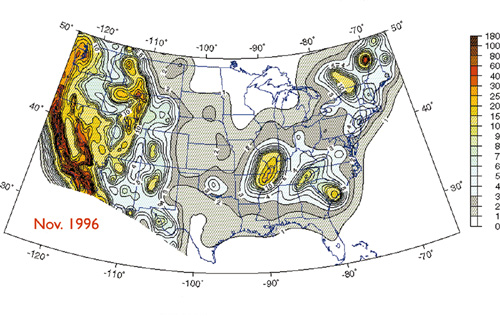
| In 1998, the U.S. Geological Survey released interactive maps of the entire nation showing local ground movements expected to occur in future earthquakes. This mapping system represents the result of more than 30 years of seismic data collection and research. For more information visit http://geohazards.cr.usgs.gov/eq/html/intermaps.shtml |