 What's
in the print version of Geotimes this month ...
What's
in the print version of Geotimes this month ...
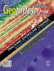
|
Click the image
above to view a high-resolution version of the cover.
|
18 Snapshots
from Space of the World's Continents
Mosaic images of entire continents can serve as benchmarks for monitoring global
change.
Ahmed Mahmood et al.
22 LIDAR:
Mapping a Shoreline by Laser Light
The days of collecting beach profile data solely in the field are gone. Now
coastal geologists are looking to the skies, using a new radar tool to study
changes to the shoreline over large areas.
James C. Gibeaut
28 Precision Agriculture:
Changing the Face of Farming
Commercial farms around the world are changing, and remote sensing is beginning
to play a large role. A new suite of technologies promises to help farmers better
manage their crops at the scale of individual fields.
Doug Rickman et al.
| NEWS
& VIEWS 5 COMMENT Civilian Agencies Implement the Bush Space Policy In April, President Bush authorized a national policy establishing guidance for federal use of commercial satellite data. Civilian agencies must now examine their needs. Ralph J. Thompson 6 NEWS
NOTES 13
POLITICAL SCENE 32 GEOPHENOMENA
38 ENERGY
& RESOURCES 40 GEOMEDIA 56 GEOLOGIC COLUMN
|
DEPARTMENTS
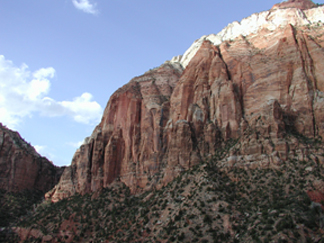
2 From the Editor 4 Letters: Perspectives from readers 32 Where on Earth? 36 Profiles: Ed Roy 37 Benchmarks: Looking back in Geotimes 44 GeoMarketplace 45 Classified Ads: Career Opportunities 55 Contributors Page Want to attend a geoscience meeting? Visit the online Calendar. Tracing the Navajo sandstone, p. 6
|
 |
Geotimes Home | AGI Home | Information Services | Geoscience Education | Public Policy | Programs | Publications | Careers |